Rodosto Teknoloji: Mekânsal veri. Kurumsal yazılım.
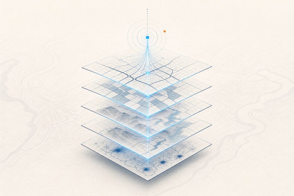
Ham veri altyapısından karar destek platformlarına uçtan uca coğrafi çözümler üretiyoruz. ArcGIS ekosisteminde derin uzmanlığa sahibiz; PTM, PCM ve Rodosto Terrain'i kendi mühendisliğimizle geliştiriyoruz.
Uçtan uca çalışıyoruz: ham veriden karar destek platformlarına.
Coğrafi bilgi sistemlerinde, tamamı ArcGIS ekosistemi uzmanlığına dayanan altı ana hizmet alanı sunuyoruz.
Kendi geliştirdiğimiz kurumsal ürünler.
Uygulayıcı değil, ürün geliştiriciyiz: PTM, PCM, Rodosto Terrain ve Rodosto Online Tools tamamen şirket içi mühendislikle geliştirildi.
Proxy Token Manager
ArcGIS Enterprise önünde bir API gateway. Tüketici bazlı token yönetimi ve eksiksiz denetim kaydıyla güvenli paydaş erişimi.
Ürünü inceleyin PCM · Portal YönetimiPortal Content Manager
Portalınızı tarar; metaveri düzeltmeleri önerir, sahipsiz içeriği bulur, klasörleri düzenler; tüm işlemler operatör onayıyla ilerler.
Ürünü inceleyin Rodosto Terrain · 3B AraziRodosto Terrain
Yapay zekâ destekli 3B arazi sunumu: parsel işaretleme, sinematik uçuş videoları ve markalı portföy yayınlama.
Ürünü inceleyin Online Tools · Web AraçlarıRodosto Online Tools
Tarayıcıda çalışan, kayıt gerektirmeyen 20'den fazla ücretsiz CBS aracı: dönüştürücüler, görüntüleyiciler ve hesaplayıcılar.
Ürünü inceleyinHaritanın kritik olduğu her yerdeyiz.
Belediyelerden altyapı kuruluşlarına ve özel sektöre kadar mekânsal altyapı, karar mekanizmalarını güçlendirir.
Kent planlamadan ruhsat takibine ve saha operasyonlarına kadar belediyelerin gündelik iş akışlarını tek mekânsal platformda dijitalleştiriyoruz.
Detaylı bilgi Altyapı Kuruluşları ve Kamu KurumlarıŞebeke, kesinti ve varlık yönetimini SCADA entegrasyonlu mekânsal çözümlerle gerçek zamanlı yönetilebilir hâle getiriyoruz.
Detaylı bilgi Özel Sektör ve KurumsalYer seçiminden lojistik optimizasyonuna kadar konum verisini işletmeler için ölçülebilir rekabet avantajına dönüştürüyoruz.
Detaylı bilgiÇalıştığımız teknolojiler.
Yetkinliğimizin açık kanıtı: ücretsiz Rodosto Online Tools araçları.
Herkesin kullanımına açık 20'den fazla web tabanlı CBS aracı geliştirdik. Öne çıkanlar:
Son yazılar.
ArcGIS mimarisi, kurumsal CBS ve ürünlerimiz üzerine teknik yazılar; şirketimizden haberler.
 CBS
CBS
Coğrafi Bilgi Sistemleri (CBS) Nedir? Kurumlar İçin Uçtan Uca Rehber
24 Tem 2026

Kararlar, kurduğumuz mekânsal altyapıyla güçlenir.
Projenizi, verinizi ve ihtiyacınızı anlatın; birlikte doğru mimariyi kuralım.