What we deliver.
Six core capabilities. Each one backed by deep expertise, battle-tested processes, and a relentless focus on getting it right.
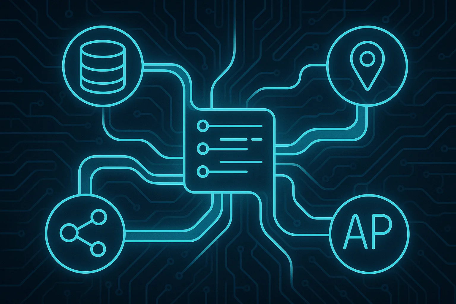
End-to-End GIS Platforms
We architect, develop, and deploy complete geospatial platforms tailored to your organization. From database design and spatial data modeling to web-based visualization and advanced analysis tools — every layer is built as a unified, production-grade system.
- ◆ Custom web GIS applications with role-based access
- ◆ Spatial database architecture (Enterprise Geodatabase)
- ◆ Interactive dashboards and real-time monitoring
- ◆ Data entry workflows with validation rules
- ◆ Automated reporting and export capabilities
- ◆ Full deployment, training, and documentation

System Integration
Your GIS doesn't operate in isolation. We engineer the bridges between your spatial infrastructure and enterprise systems — ensuring seamless, secure, bidirectional data flow across your entire technology stack.
- ◆ ArcGIS ↔ ERP / SAP integration
- ◆ SCADA and IoT sensor data pipelines
- ◆ Asset management system synchronization
- ◆ REST API development and middleware
- ◆ ETL workflows for spatial data
- ◆ Real-time data replication and sync
Spatial Analysis
We turn complex geographic datasets into clear, actionable intelligence. Our analysis capabilities span network optimization, site suitability modeling, terrain analysis, and demographic overlays — delivered as repeatable, automated workflows.
- ◆ Network and routing analysis
- ◆ Site suitability and location intelligence
- ◆ Terrain modeling and slope analysis
- ◆ Demographic and market area analysis
- ◆ Geostatistical modeling
- ◆ Automated analysis pipelines with ArcPy

Field Data Solutions
Purpose-built mobile applications for field crews, inspectors, and survey teams. Our solutions work in the harshest conditions — offline-first architecture ensures your team never loses data, even in areas with zero connectivity.
- ◆ Native and hybrid mobile apps (iOS/Android)
- ◆ Offline-first with intelligent sync
- ◆ GPS tracking and photo geotagging
- ◆ Barcode/QR code scanning
- ◆ Custom inspection and survey forms
- ◆ Real-time field crew monitoring dashboards

Infrastructure Optimization
We diagnose and fix the problems that slow your GIS operations down. From database restructuring and query optimization to workflow automation and infrastructure hardening — we make your existing systems perform at their best.
- ◆ Database performance auditing
- ◆ Geodatabase schema optimization
- ◆ ArcGIS Server/Portal tuning
- ◆ Automated backup and recovery
- ◆ Service monitoring and alerting
- ◆ Migration and upgrade planning

ArcGIS Ecosystem
We are deeply embedded in the Esri ecosystem. From Enterprise Portal deployments and federated server architectures to custom geoprocessing services and Experience Builder widgets — we know ArcGIS inside and out.
- ◆ ArcGIS Enterprise deployment and configuration
- ◆ Portal and Server federation
- ◆ Custom geoprocessing tools and services
- ◆ Experience Builder and Web AppBuilder widgets
- ◆ Token-based access management (Proxy Token Manager)
- ◆ Automated publishing and service management