TL;DR — Rodosto Teknoloji attended the 2026 Esri Türkiye Partners Meeting. Our Founder Onurhan Şeremet, together with Solutions Specialists Damla Kocaman and Eylül Kaya, joined a day of platform sessions, partner case studies, and conversations with the Esri Türkiye team and the wider ecosystem. A short note on what the gathering is, why we were there, and what it changes for the work we do next.
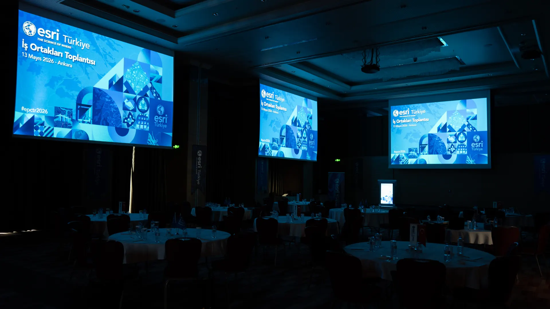
The Esri Türkiye Partners Meeting — held on 13 May 2026 in Ankara — is the annual gathering where Esri Türkiye and the partner organisations building on the ArcGIS platform meet to review the platform roadmap, share project results, and align on the year ahead. As a member of the Esri Partner Network, Rodosto attended this year’s edition.
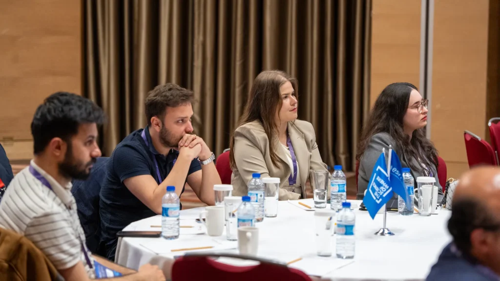
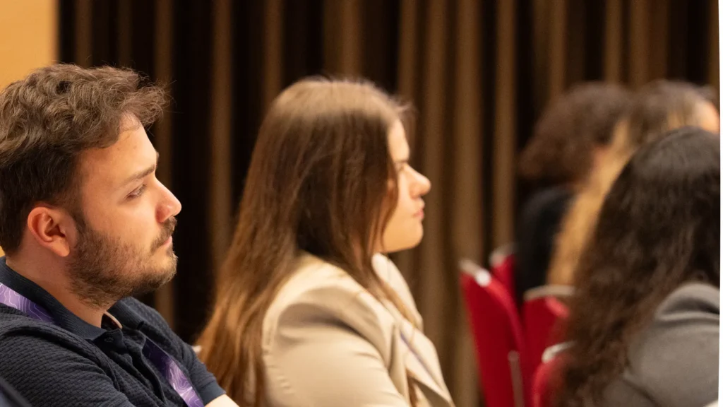
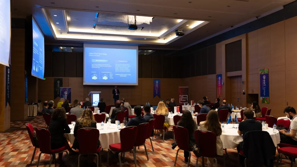
This was not a sales event. It was a working session for the people who deliver ArcGIS programmes in Turkey — municipal GIS managers’ vendors, utility integrators, enterprise consultancies, and the Esri Türkiye product and technical teams who support them. The point of the day was to compare notes on what works, what is changing in the platform, and where the partner community is heading.
Who attended from Rodosto
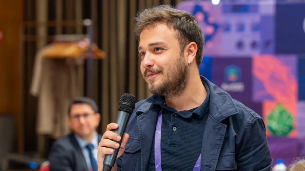
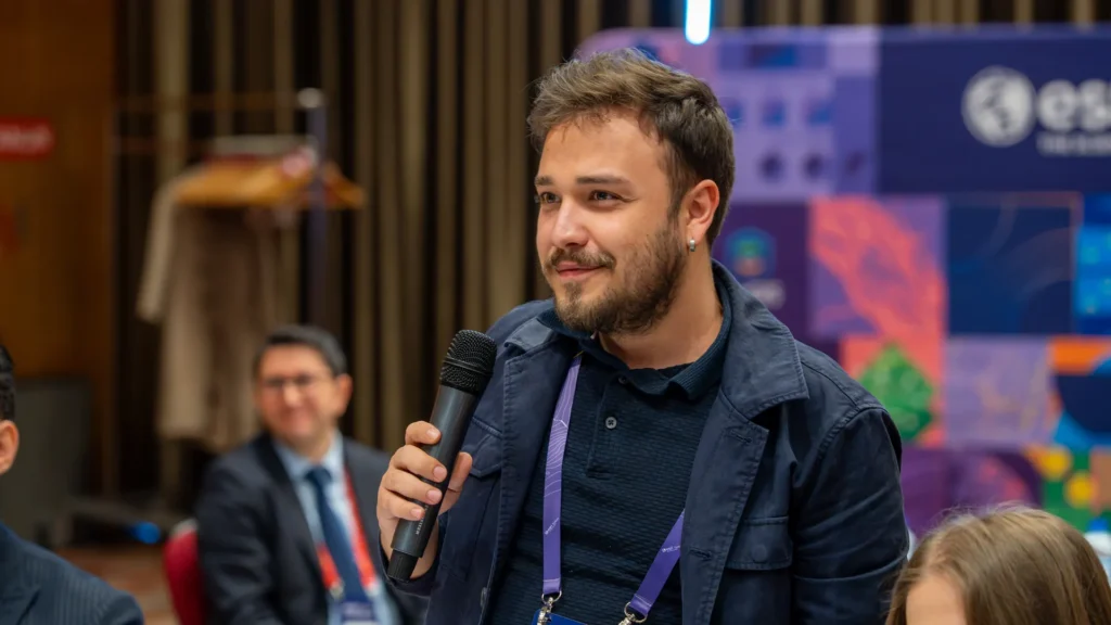
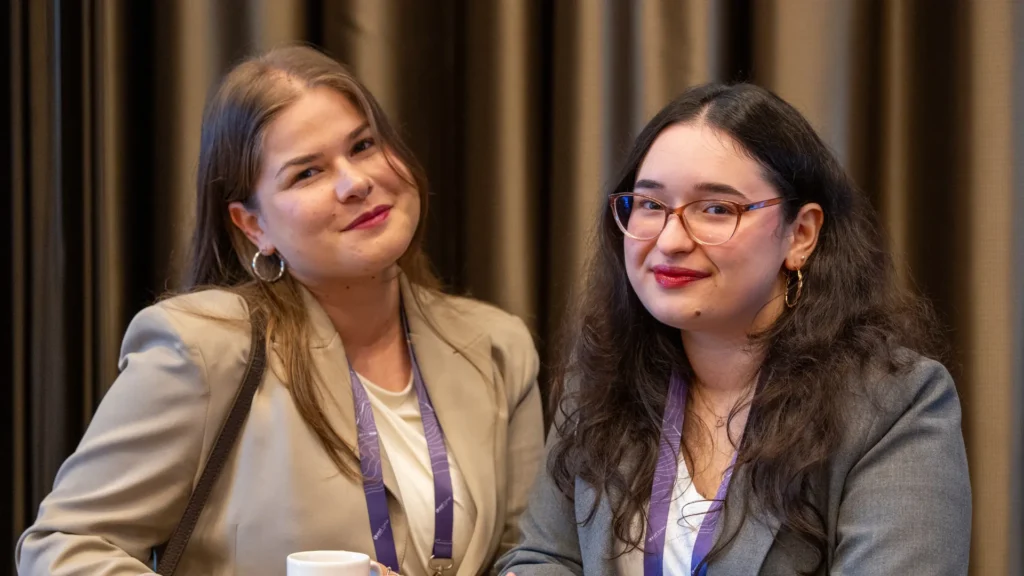
Three of us represented Rodosto at the meeting:
- Onurhan Şeremet — Founder
- Damla Kocaman — Solutions Specialist
- Eylül Kaya — Solutions Specialist
The composition was deliberate. The founder is in the room for the strategic and partner-relationship conversations; the solutions specialists are in the room for the technical sessions and the case-study exchange that directly informs how we scope and deliver projects. The two layers feed each other — the partnership decisions we make at the top of the company only matter if they translate into how our delivery team works on Monday morning.
Why we were there
Three reasons, in order of how much they shape what happens next at Rodosto.
1. The platform roadmap
ArcGIS is not a static platform. ArcGIS Enterprise, ArcGIS Online, the Experience Builder line, the Velocity and Knowledge extensions, and the developer SDKs all move on their own cadence. For a partner that designs and delivers solutions on this stack, sitting in the room when the roadmap is presented is materially different from reading the release notes after the fact. Questions get asked. Edge cases get clarified. The implicit ordering of priorities — what Esri sees as the centre of gravity for the next year — comes through in the tone of the sessions, not the slide bullets. That signal is hard to acquire any other way.
2. Partner case studies
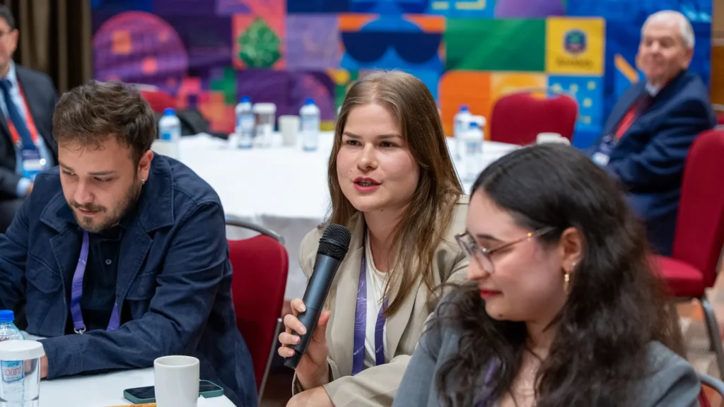
The most useful sessions at a partner meeting are the ones where another partner walks through a real deployment — the architecture, the trade-offs, the things that went wrong, the things that surprised them after go-live. The audience is the only audience qualified to ask the questions that matter, because everyone in the room has run a project that looked something like the one being presented. The case-study exchange compresses lessons that would otherwise take years of independent project work to accumulate.
3. The partner community
The Esri Türkiye partner ecosystem is not a competitive arena where every firm guards its work. Most projects of any meaningful scale touch more than one partner — a system integrator, a data provider, an application developer, a training organisation. Knowing who does what well, who is reliable, and who is a good fit for a given client’s constraints is the kind of context that only the partner channel can give. The networking block exists for a reason.
What we took away
A partner meeting is most useful when the takeaways are operational, not aspirational. Three things we are carrying into the next quarter of work:
- Reinforced alignment with Esri Türkiye. Direct conversations with the Esri Türkiye technical and partner teams shorten the loop on the support, licensing, and roadmap questions that come up in every serious enterprise GIS project. The relationship is now a phone call, not a ticket queue.
- Sharper picture of the partner ecosystem. Where we previously knew partners by their public profile, we now know them by face and by the projects they actually run. That changes how we recommend collaboration to clients whose needs span more than one specialism.
- Confirmation that our delivery focus is well calibrated. Our core focus — ArcGIS Enterprise deployments, integration with operational systems, custom tools and widgets, field data collection, and security and governance — lines up with where the Turkish market is investing. The meeting did not surface a gap; it surfaced a series of opportunities to go deeper on what we already do.
Thank you
Thank you to the Esri Türkiye team for organising the meeting and for the substance of the sessions, and to the partner organisations in the room for the conversations that filled the day around them. The work we do at Rodosto sits inside a wider ecosystem, and gatherings like this one are what keep that ecosystem coherent.
If you are a municipality, public institution, utility, or enterprise considering an ArcGIS-based programme — whether a new platform, an integration into existing operational systems, or a governance and security layer on top of what you already run — we would be glad to talk. Reach us at hello@rodostoteknoloji.com.